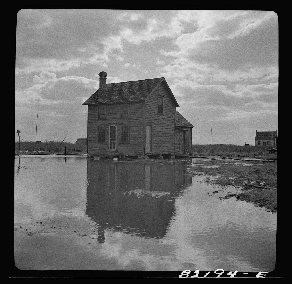


Waterman’s shanties in Dorchester County, Maryland, ca. 1941. Collections of the Library of Congress.
Springtime means flood tides here in the Chesapeake, both today and historically. These images from a waterman’s community in Dorchester County, Maryland, in 1941, show that flooded fields, catwalks above drowned yards and an unclear distinction between water and land are nothing new.
What has changed is that these flood tides are now no longer relegated to spring. Dorchester County barely skims above sea level- it the second lowest county in Maryland and one of the lowest in the United States- and because of that, it experiences the ravages of high water and the prevailing winds across the Bay more intensely than anywhere else in Maryland. Today, flooding happens year-round, and along with impassable roads and submerged cars, whole stretches of the shoreline are steadily eroded by the ceaselessly encroaching waves of the Chesapeake.
The loss of land is particularly acute on the islands the lie offshore of Dorchester- Hooper’s, Holland, and Bloodsworth, where more than 20 acres a year disappear into the Bay. In many of these communities, residents have attempted to protect their homes by armoring their shorelines or jacking up their houses. Many have been forced to leave all together.
For Dorchester County’s maritime towns, the lives of watermen and their families have have long been dictated by the cycles of the Bay. But unlike 1941, when a springtime flood muddied boots and flooded yards, modern Chesapeake towns suffer tides that come seasonlessly, threatening their homes as well as their livelihoods.